Iowa’s First Winter Storm of the Season Arrives on Friday
***Remember: Forecasts can and will change! This initial story was posted at 11 AM on Wednesday 12/8.**
Except for a few flurries here and there, we haven’t seen much of that dreaded four-letter word, but that’s about to change…at least for Northern Iowa -- but we all knew that this day would eventually come.
From the National Weather Service in Des Moines:
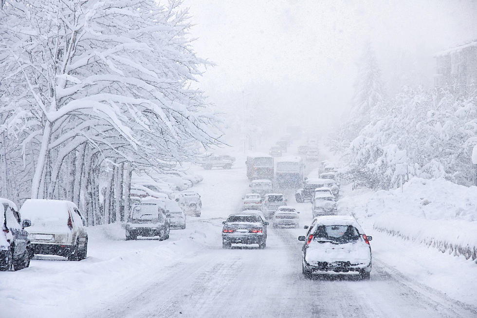
A winter storm with moderate to possibly heavy snowfall by Friday afternoon along with increasing wind into Friday evening is likely to produce hazardous travel over far Northern Iowa south into portions of Central and Northeast Iowa.
Currently, a Winter Storm Watch has been posted for 22 counties in Northern and Northwestern Iowa, but this storm could track further south.
For the areas involved in the watch, 4-6 inches of snow is expected. Lighter accumulations could occur as far south as Interstate 80.
The National Weather Service adds:
Increasing northwest winds Friday afternoon and evening will result in low visibility, blowing snow, and hazardous travel conditions.
The NWS (as of Wednesday morning) says that Waterloo has a 78% probability of receiving its first inch of snow this season, while there is a 58% chance the city will receive 2” or more. There is also a 23% chance of receiving at least four inches.
Cedar Rapids has a 40% chance of getting its first inch of snow for the season by Saturday morning and a 14% chance of getting two inches or more.
There is also a chance that northern Iowa could get hit with 6-8” of snow from this storm.
The average date for Cedar Rapids to receive its first inch of snow is December 1. For Waterloo, it’s usually around Thanksgiving.
Roseanne Barr Abandoned Iowa Mansion in Eldon, IA
RANKED: Here are the most popular national parks
More From 94.1 KRNA


