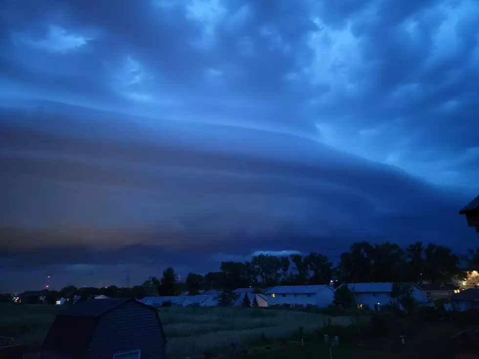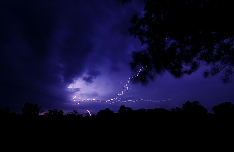
Another Derecho Blasts Its Way Across Eastern Iowa
Yesterday morning while at lunch, a friend texted me and said that weather experts were not only predicting strong storms for Eastern Iowa Tuesday evening, but they were saying that conditions were perfect for another derecho. Prior to 2020, many Iowans had never heard of the term before. Now, in 2022, it seems like thee high powered wind storm happens at least once a year. And I for one, am sick of it!
So how does a storm get categorized as a derecho? The system first must be more than 240 miles in length and secondly, it must feature winds above 58 miles per hour along its length. Last night's storm began in the Dakotas where winds were whipping at nearly 100 miles per hour. By the time it got to Eastern Iowa last night, gusts were in the 60 to 70 mile per hour range. Still plenty strong to do damage, including to the sign at KCRG TV-9 studios in Cedar Rapids.
Just how often are we supposed to see a derecho in Iowa? According to the Des Moines Register forecasters say one should happen around once every two years. Prior to the devastating derecho of 2020, it had been since 2014 since the state had seen a derecho. But after 2020, we had another one in December of 2021. Now another derecho in July of 2022. Is this the new normal?
As you can see in the above photo, a derecho can also kick up funnel clouds and tornadoes too. The occasional tornado threat was always a part of living in the midwest. But they are isolated and the damage is usually confined to a small area. Derechos are differentnt. The path of damage from last night's storm stretches for hundreds of miles. Repairs from the 2020 derecho are still going on to this day. It appears that this is our new normal.
Welcome to derecho alley.
LOOK: The most extreme temperatures in the history of every state
Gallery Credit: Anuradha Varanasi
Annoy An Iowan Using Only Four Words
More From 94.1 KRNA


![A Rare Dust Storm Brings Wind and Damage to NW Iowa [PHOTOS]](http://townsquare.media/site/675/files/2022/05/attachment-Storm-2.jpg?w=980&q=75)


