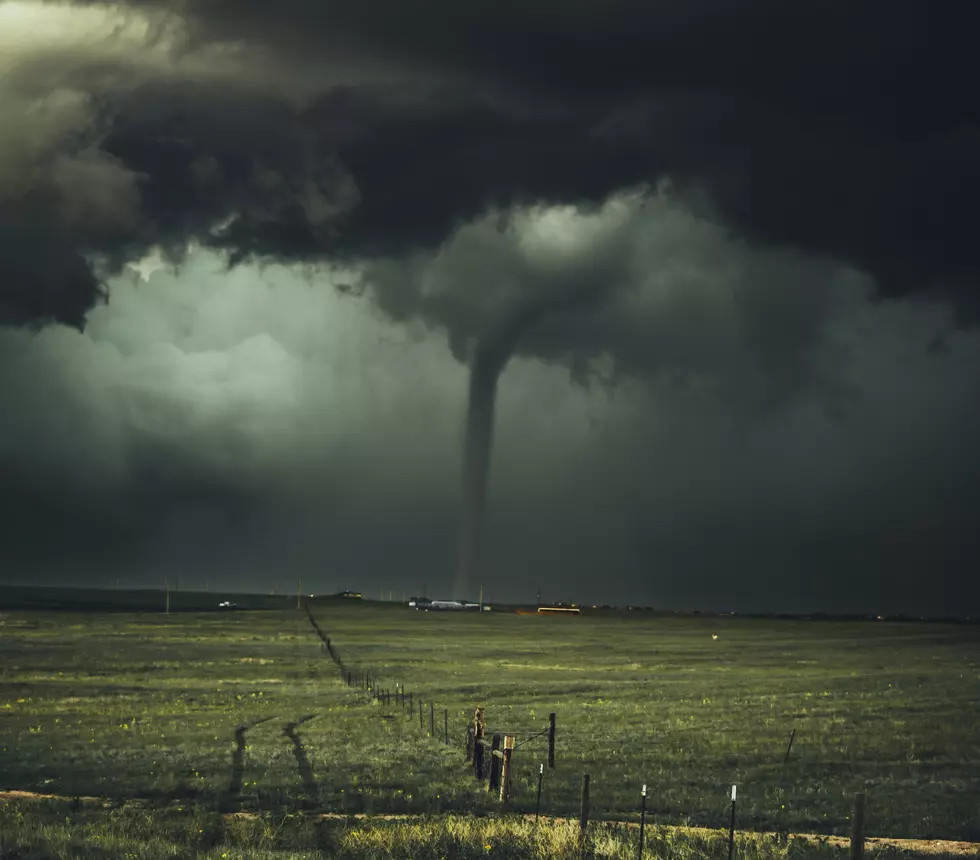
Severe Weather Risk in Iowa Again Today
A cold front is trying to push its way through eastern Iowa, but the warm weather we've been having isn't going to go without a fight. The battle could turn into severe storms through a large part of southern and eastern Iowa later today.
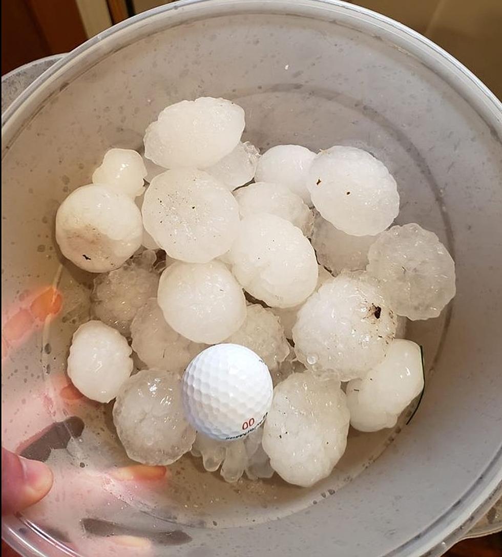
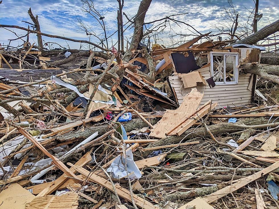
Today brings another 'Slight' chance for severe weather. Unfortunately, yesterday, that turned into a bit of an outbreak of severe weather across parts of Iowa. It's important everyone stay aware of changing weather conditions later today.
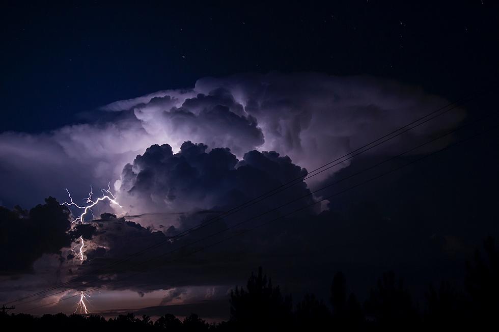
The National Weather Service expects strong to severe storms to impact the listening area beginning after 3 p.m. today. The outlook says, "Thunderstorms are expected to redevelop this afternoon and evening with strong to severe storms." As you can see, the concerns are everything from large hail to damaging winds and even isolated tornadoes. In addition, the National Weather Service in the Quad Cities says two-plus inches of rain is possible in some areas as the storms push through late this afternoon and this evening.

East central and southeast Iowa aren't alone in the threat for severe weather. The graphic provided by the National Weather Service in Des Moines shows the entire southern third of the state could see severe weather, with the area expanding north the further east you go.
Central and extreme southeast Iowa have already seen some strong storms this morning, but there's currently nothing severe. We'll keep you up to date throughout the afternoon. Stay aware and stay safe!

More From 94.1 KRNA

![National Weather Service Confirms 26 Iowa Tornadoes on Wednesday [PHOTOS/VIDEO]](http://townsquare.media/site/675/files/2021/07/attachment-Iowa-tornado-%252540clarencewlsmith-Twitter.jpg?w=980&q=75)