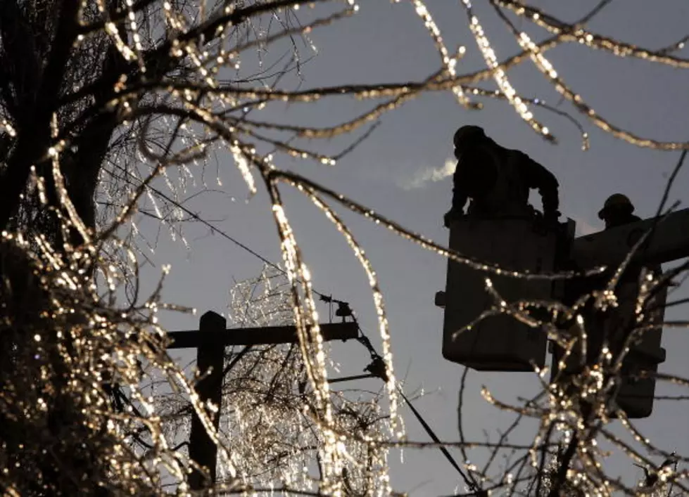
Oh Crap! Winter Returns This Week
Spring-like weather in Eastern Iowa today is expected to change back to snow and cold by Tuesday.
The National Weather Service has issued a winter storm watch in effect Tuesday at midnight and running through noon Wednesday with a possible snowfall total of 4-6 inches.
The storm has the potential to be one of the strongest winter storms of the season so far, according to the National Weather Service.
It should start as rain during the day Monday, then change to snow Monday evening with moderate to heavy amounts at times continuing through Tuesday night.
High winds may cause some blowing and drifting Tuesday night and Wednesday morning.
Just when you think it’s over it’s back again. Old man winter kicks us one final time before he lets up.
Get out the gloves and ice scrapers. I think it's time for us to publish one more installment of our series, the Best Dive Bars to Hunker Down In.
More From 94.1 KRNA
![[UPDATED] Northern Half of Eastern Iowa Under Winter Storm Warning](http://townsquare.media/site/725/files/2021/01/RS26052_GettyImages-52048061-scr.jpg?w=980&q=75)


