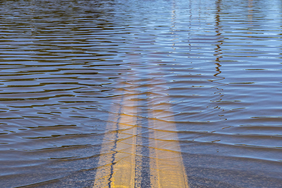
![[UPDATED] Cedar River Now Forecast to Crest at Major Flood Level](https://townsquare.media/site/675/files/2020/06/Flooded-street.jpg?w=980&q=75)
[UPDATED] Cedar River Now Forecast to Crest at Major Flood Level
[UPDATED Wednesday, June 24 at 8:45 am] Thankfully, the expected crest of the Cedar River at Cedar Rapids is trending down, at least slightly. It's now forecast to crest at 16 feet Thursday evening.
[UPDATED Tuesday, June 23 at 11 am] The Cedar River in Cedar Rapids is now forecast to crest Thursday evening, June 25, at 16.5 feet.
[ORIGINAL STORY] It's amazing how quickly things can change when it comes to river levels when soil is saturated and heavy rains are falling. Unfortunately, we've been reminded of that again today in Iowa.
The city of Des Moines has received 1.8 inches of rain today, where they've experienced some street flooding as a result. The National Weather Service reports the Eastern Iowa Airport in Cedar Rapids has received 1.15 inches today, as of 1 p.m. In Waterloo, the rain has been even heavier, with that city receiving 2.95 inches since 10 p.m. Sunday. As you know, heavy rain to the north is always bad news for river levels downstream and we're certainly seeing that in the forecast for the Cedar River.
Earlier today, the Cedar River in Cedar Rapids was expected to crest under 10 feet, well under the 12-foot flood stage. However, thanks to all the rain that has fallen in the area and what's expected to still come down, the Cedar is now expected to crest at 15.9 feet in Cedar Rapids on Thursday afternoon. That's just under a major flood. As of 2 p.m. Monday, the river was at 8.91 feet, beginning its climb toward Thursday's crest. Heavy rain is pouring down in Cedar Rapids as 2 p.m. nears, with a Flash Flood Watch in effect for Iowa City, Cedar Rapids, and points north through 7 p.m. tonight.
The National Weather Service expects the rain to end across the area by early this evening with just a slight chance of rain showers tomorrow afternoon, followed by dry weather both Wednesday and Thursday. We'll need it.
Can You ID These Eastern Iowa Locations From Aerial Photos?
More From 94.1 KRNA