Eastern Iowa Severe Weather Threat Has Very Bad Timing
There's a threat of severe weather and very heavy rainfall across the area Wednesday and Wednesday night. It couldn't come at a worse time for notifying the public.

The National Weather Service in the Quad Cities says,
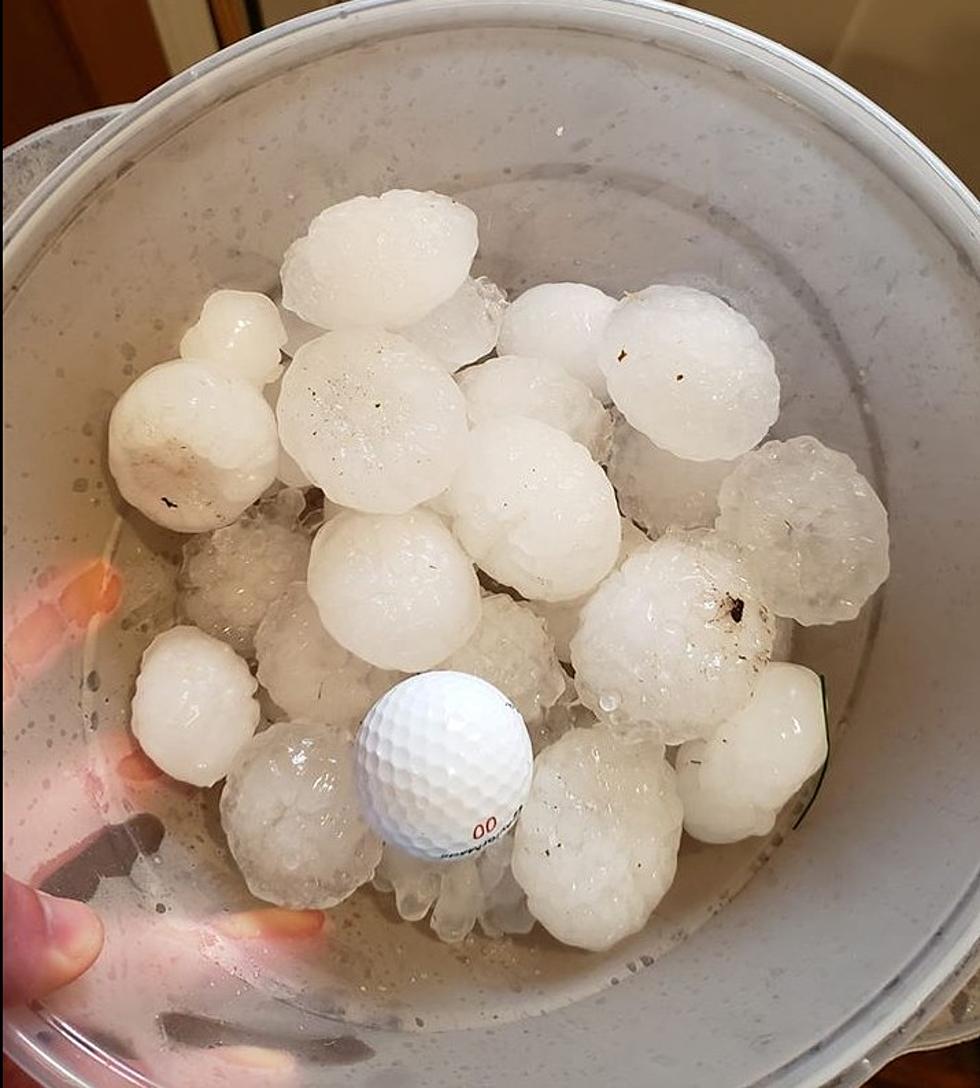
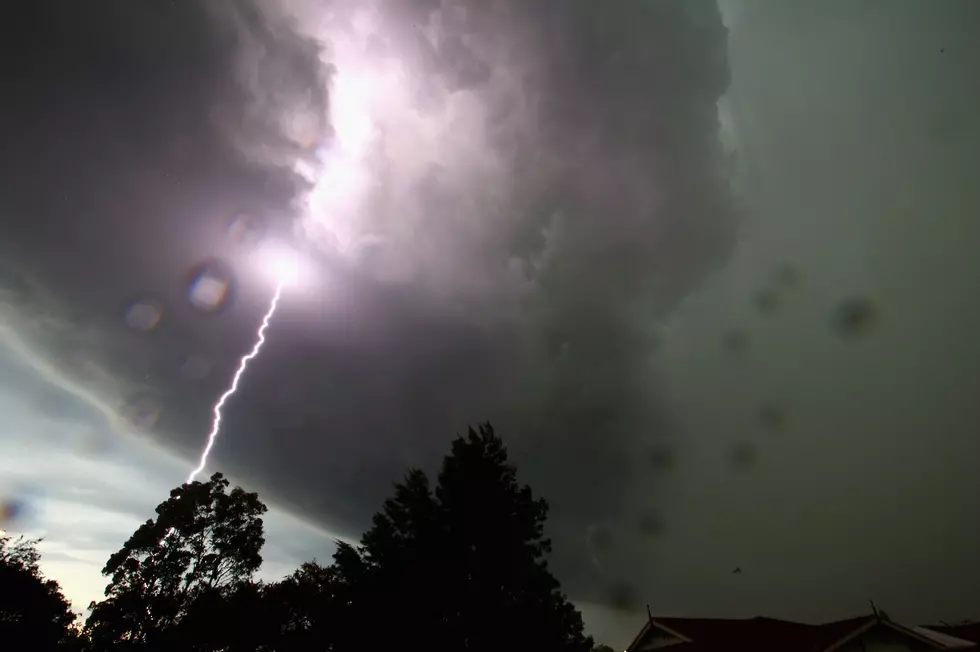
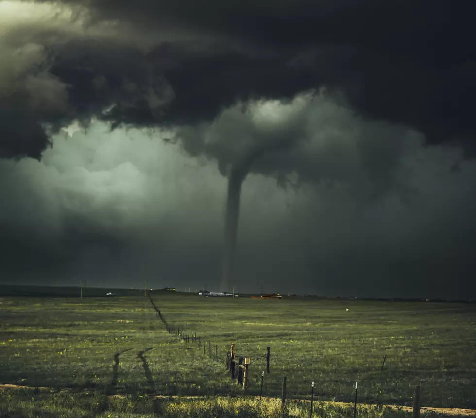
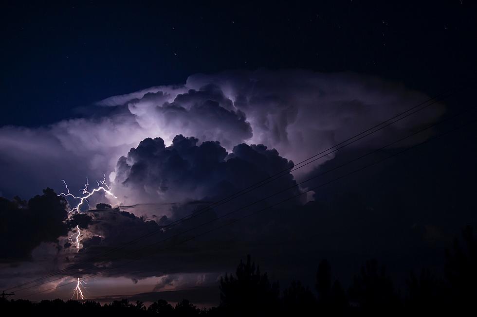
The entire area has a risk for severe thunderstorms and very heavy rainfall Wednesday and Wednesday night... In the morning, storms may be strong, but widespread severe weather is not anticipated. Afternoon storms are expected to develop along the front as it moves through central Iowa and will progress eastward. Damaging winds, large hail, torrential rain and isolated tornadoes are all possible."
I don't know about you, but it's never good when the words "severe" and "torrential rain" are in the same paragraph. Now, for the bad timing part of this.
The National Weather Service in the Quad Cities is moving their offices in Davenport, beginning today. That will result in NOAA Weather Radio stations in the area, including the Cedar Rapids one, being down for at least two days. It could even be three days. If you turn on your weather radio, and there's nothing there, that's why.
In the meantime, as always, we'll be here keeping you up-to-date with everything that Mother Nature has in store for us. Hopefully, "severe" and "torrential rain" don't come to fruition but if they do, you can count on us.
By the way, more severe storms are possible beginning Thursday afternoon into Friday morning. It could be a very fun week and I use the word "fun" very loosely.
More From 94.1 KRNA

![National Weather Service Confirms 26 Iowa Tornadoes on Wednesday [PHOTOS/VIDEO]](http://townsquare.media/site/675/files/2021/07/attachment-Iowa-tornado-%252540clarencewlsmith-Twitter.jpg?w=980&q=75)