Possible Severe Weather Today in Iowa
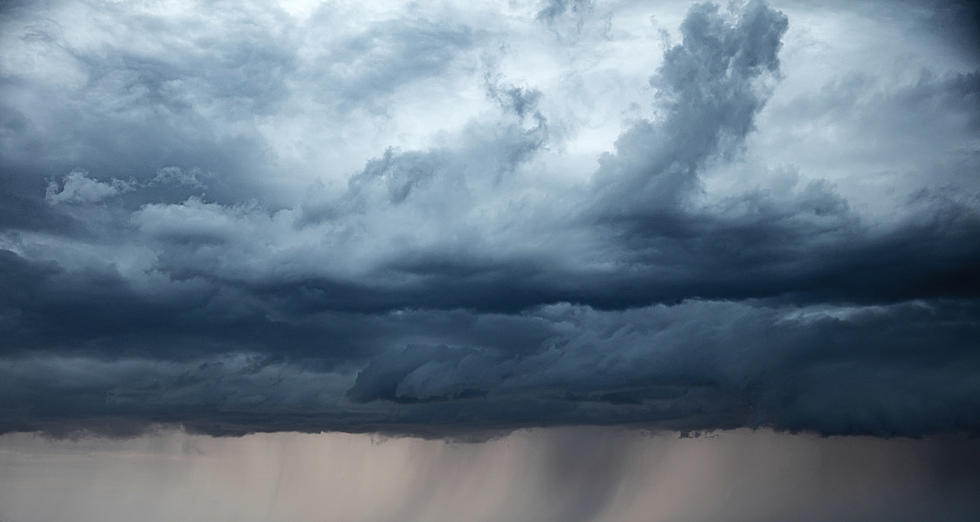
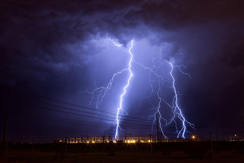
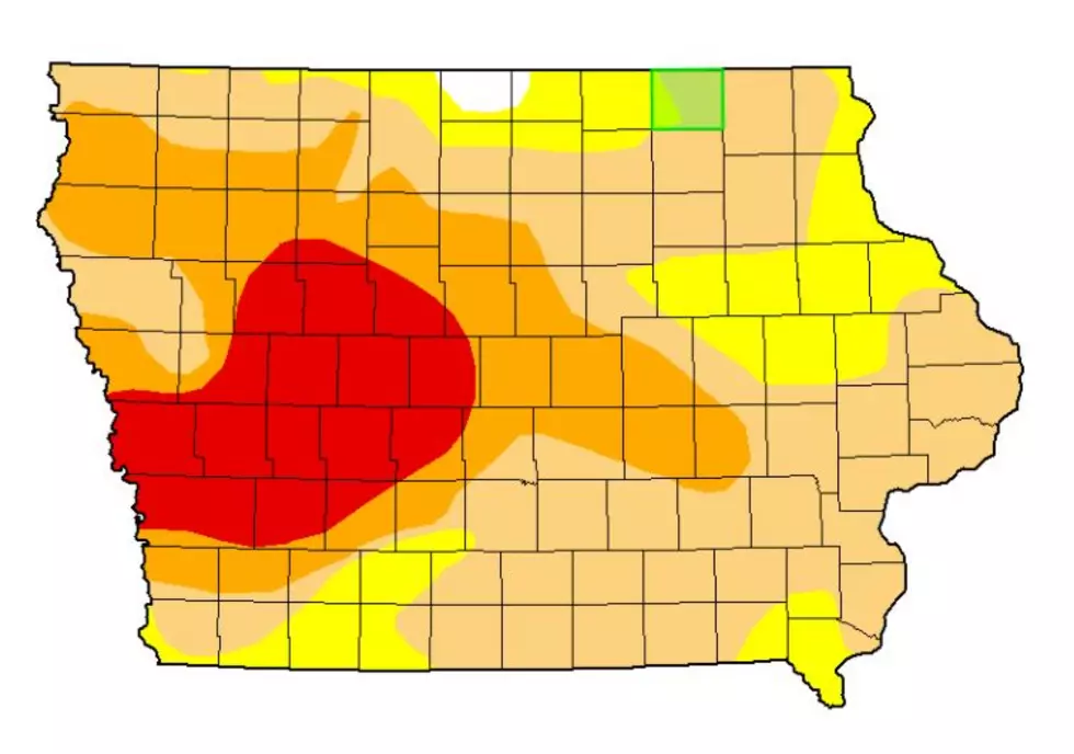
After receiving a trace of rain early Thursday morning, Eastern Iowa might finally be getting some much-needed precipitation this afternoon into the evening hours. Unfortunately, the rain will bring along with it the chance of severe weather in Iowa.
The National Weather Service in Des Moines says:
Scattered severe storms are expected late this afternoon into the evening with an enhanced risk of severe storms. Large hail and damaging winds will be the primary threats. A tornado or two will also be possible.
The last time Waterloo had measurable precipitation was May 27-28 when a total of .90" fell.
On June 10, Cedar Rapids received .25" of rain.
Waterloo hasn’t had more than an inch of rain in a single day since October 22, 2020.
So far this year, The National Weather Service in Des Moines has only issued nine Severe Thunderstorm Warnings for its coverage area (through 6/16):
The National Weather Service in the Quad Cities has only issued TWO Severe Thunderstorm Warnings for its coverage area so far this year (Through 6/16), which includes Cedar Rapids:
LOOK: Here is the richest town in each state
Gallery Credit: Meagan Drillinger
Could You Live in a 500 Sq. Foot Home?
More From 94.1 KRNA


