Snow Could Pile Up This Weekend in Eastern Iowa
The National Weather Service has issued an advisory for our area and it looks like it will snow most of the weekend.
The National Weather Service in the Quad Cities has issued a Winter Weather Advisory for the northern half of eastern Iowa beginning Saturday at 3 p.m. and continuing through Sunday at 6 p.m. Western Illinois has been placed under a Winter Storm Watch. Now, for the specifics.
Snow is expected to start in the latter half of the afternoon Saturday and continue through Sunday. Right now, the expectations are for 2 to 9 inches, but the area north of Highway 30 could see even more than that. Cedar Rapids is expected to receive between 5 and 7 inches of snow. Here's CBS2's current snowfall projections:
Last weekend's snow was very wet with temperatures around the freezing mark. This weekends should be lighter as highs are expected to be in the mid-to-upper 20's. However, that could actually cause additional problems with travel due to winds that are forecast to gust as high as 20 miles-per-hour. Light to moderate snow much of the weekend, and those winds could cause blowing and drifting snow making for treacherous roadways.
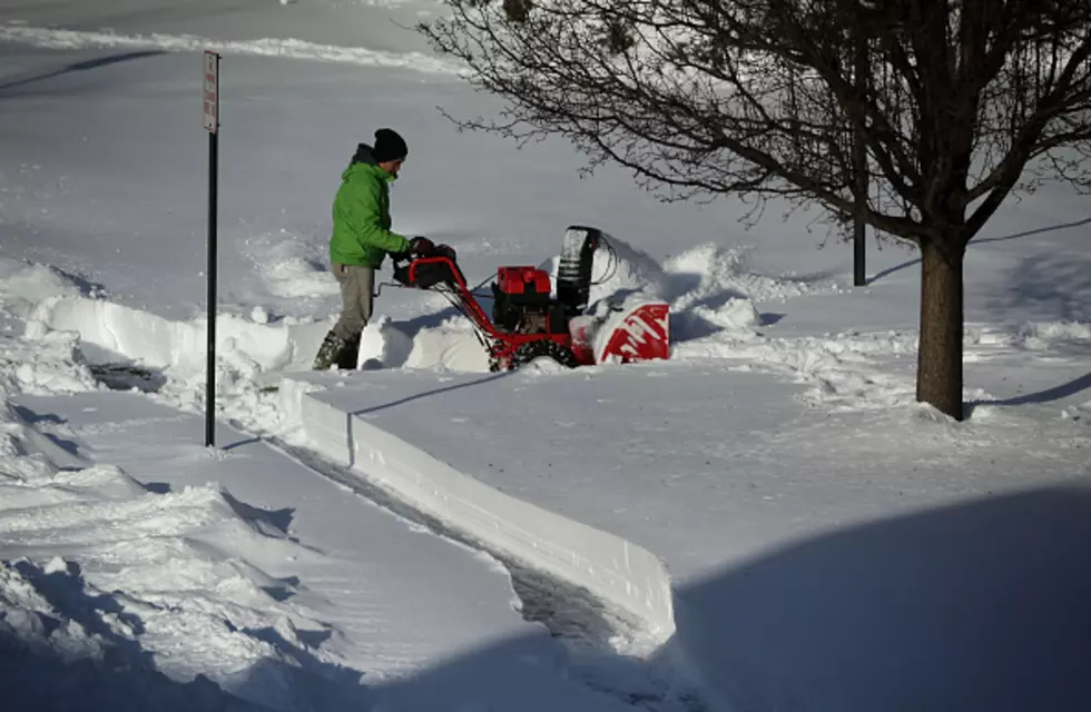
Keep up with the forecast this weekend and fuel and fire up that snowblower, if you haven't already. I had mine ready last weekend, but there was no way it was going to move the mush I met on my sidewalk and driveway. My back didn't want to either. This weekend, I'll put that snowblower to good use. Hopefully, just with a few inches of the white stuff. I'm not ready for a biggie storm just yet.
[via National Weather Service]
More From 94.1 KRNA


![How Many of the Midwest’s National Parks Have You Visited? [PHOTOS]](http://townsquare.media/site/675/files/2024/01/attachment-alex-moliski-0yBU16_3yXI-unsplash.jpg?w=980&q=75)