Eastern Iowa Facing First Severe Weather Threat of Spring
We've been longing for the weather to start acting like spring in eastern Iowa. That's about to happen but the drastic change in temperatures over the next several days could spell a severe weather outbreak at the end of the week.
First, let's rejoice in these temperatures. It's been a LONG time since we've seen a 3-day stretch of temperatures in the 60's and 70's. However, as you can see, the chances of rain will be increasing at the end of the week. Friday is the day to watch for severe weather.
Below are the forecast high temperatures for Friday. While it's great to see the 70's in eastern Iowa (and even 80's in western Iowa!), look at the temps to the north and west.
The moisture will be there too. Dewpoints all across the air are expected to be in the 60's. You'll feel the humidity and those could fuel strong thunderstorms.
All of that could spell trouble for us, according to CBS 2 Chief Meteorologist Terry Swails.The graphic below shows the threat of severe weather, which is obviously pretty high over eastern Iowa.
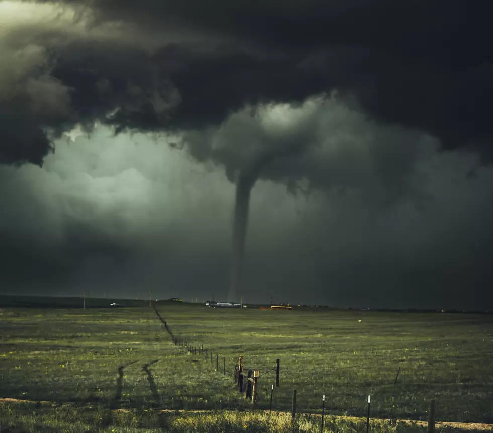
Severe weather is all part of living in Iowa, but let's hope we don't see any storms that remotely resemble this supercell this week. I love the warmer temperatures, but I don't want any part of these things. Stay tuned.
More From 94.1 KRNA

![National Weather Service Confirms 26 Iowa Tornadoes on Wednesday [PHOTOS/VIDEO]](http://townsquare.media/site/675/files/2021/07/attachment-Iowa-tornado-%252540clarencewlsmith-Twitter.jpg?w=980&q=75)